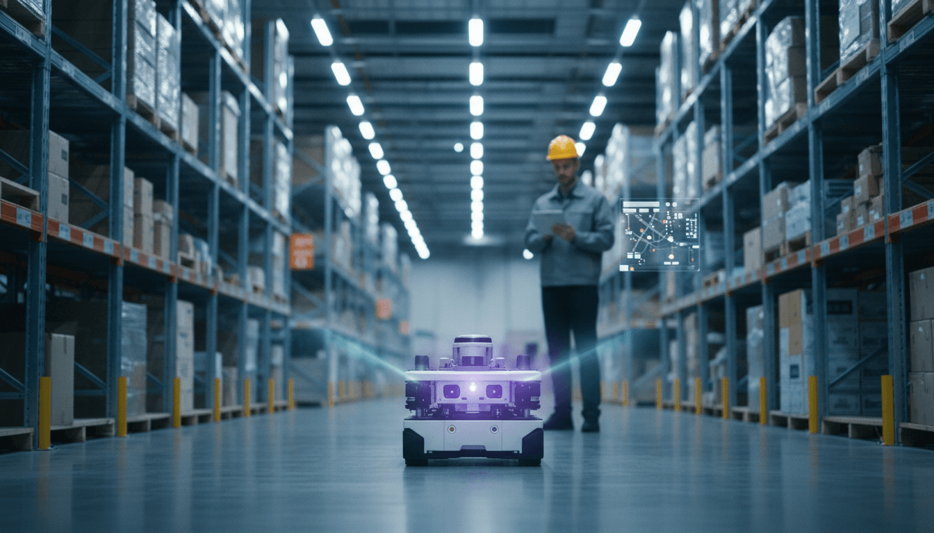
A practical guide to choosing ROS localization and mapping in 2025—what works in production, how to evaluate stacks, and where AI adds value.
Choosing Localization & Mapping for ROS Robots in 2025
Most teams still pick localization and mapping the same way they did five years ago: by package popularity, a coworker’s old launch file, or whatever demo worked once in a lab.
That approach breaks down in 2025. Modern robots are expected to operate through peak-season warehouse reconfigurations, hospital corridor traffic, and multi-shift manufacturing changes—often with tighter safety constraints and less “babysitting.” Localization and mapping aren’t just plumbing anymore; they’re the backbone that makes AI-enabled navigation, task planning, and fleet optimization trustworthy.
A recent ROS community thread captured the real mood: there are more options than ever, stats don’t tell the whole story, and people want the “what do you actually use and why?” version—not theory for theory’s sake. Let’s turn that prompt into a practical, decision-ready guide for ROS teams building robots for real environments.
The real decision isn’t “Which package?”—it’s “Which failure mode?”
The fastest way to choose a localization and mapping stack is to decide what you’re willing to fail on.
Every method makes a trade:
- AMCL-style localization tends to fail gracefully when maps are good, but it can struggle with symmetry, feature-poor spaces, or big layout changes.
- Graph-based SLAM can produce great maps, but can drift, loop-close incorrectly, or become operationally fragile if parameters and sensor timing aren’t disciplined.
- Visual(-inertial) SLAM can shine in texture-rich areas and can reduce reliance on 2D LiDAR, but lighting changes and reflective surfaces can become your daily headache.
- Modern factor-graph fusion can be extremely robust, but only if you invest in calibration, observability, and sanity checks.
Here’s the stance I’ll take: for lead-generating, production-focused robotics teams, “robust under change” matters more than “pretty map.” AI navigation, semantic reasoning, and autonomy features are only as good as the pose estimate they ride on.
A quick “environment-to-stack” cheat sheet
If you need a first pass before deeper testing:
- Structured indoor (warehouses, factories) + 2D LiDAR: Map once, localize forever → AMCL-class localization + a clean static map is still hard to beat.
- Indoor with frequent change (seasonal racks, pop-up storage): Expect map drift/change → consider SLAM with controlled map updates, or localization against multiple maps.
- Long corridors / hospitals (symmetry): You need extra constraints → add fiducials, magnetic/visual markers, or multi-sensor fusion to break ambiguity.
- Large sites / mixed indoor-outdoor: You need a fusion story → LiDAR-inertial (and GNSS outdoors) with factor graph backends.
What “proven useful” looks like in production
Open-source popularity is noisy. “Proven” means the system behaves under real operational stress.
In production deployments (manufacturing, logistics, healthcare), I look for these traits:
- Recoverability: If localization degrades, can it re-localize without a human? Does it have a clean reset path?
- Observability awareness: Does the system detect “I can’t know this right now” (e.g., feature-poor corridor) and slow down, widen uncertainty, or request assistance?
- Map lifecycle tooling: You don’t just build a map—you maintain it. How do updates roll out? Can you diff maps? Validate them? Roll back?
- Sensor timing tolerance: Real robots drop packets, clocks drift, and CPU budgets spike. Does the stack degrade predictably?
- Debuggability: Can an on-call engineer tell why it failed from logs and introspection? If not, it will fail at 3 a.m. and stay failed.
A practical metric that correlates with success: mean time to recover (MTTR) from localization loss. If your MTTR is 30 seconds autonomously, you’ll keep SLAs. If it’s “a technician drives it back to a known spot,” your fleet scaling is capped.
Classic ROS options still matter (and why they’re still used)
The ROS thread name-drops the “old staples” for a reason: they still show up in shipping robots.
AMCL: boring, dependable, and still a default
Answer first: AMCL remains a top choice for indoor mobile robots because it’s predictable, cheap to run, and integrates cleanly with static maps.
Why teams keep it:
- Runs comfortably on modest compute
- Behavior is understandable (particle filter over a static occupancy grid)
- Easy to validate: if your map and TF tree are correct, it usually just works
Where it bites you:
- Symmetric environments (two identical corridors)
- Feature-poor spaces (wide open areas) with sparse LiDAR returns
- When the world changes and your map doesn’t
If you’re doing AI-driven navigation (dynamic obstacle prediction, semantic costmaps), AMCL is often fine—but only if the map represents the parts of the world that don’t move.
Cartographer / Karto-style mapping: powerful, but operationally picky
Answer first: Graph-based SLAM is great for rapid mapping and loop closure, but it rewards teams who treat calibration and time sync as first-class tasks.
Where it shines:
- Fast map creation for new sites
- Loop closure that corrects accumulated drift
Where it surprises teams:
- Small timestamp issues create “mystery bends” in maps
- Parameter changes can alter map quality dramatically
- Multi-floor / multi-level environments need careful handling
A rule I’ve learned the hard way: if you can’t reproduce the same map twice from the same bag, you’re not ready to map customer sites.
Modern stacks: why AI teams care about factor graphs and fusion
AI in robotics isn’t only about perception models. In 2025, it’s also about estimation quality—because learned planning and policy models amplify state errors.
Answer first: Multi-sensor fusion (LiDAR + IMU + wheel odometry, sometimes vision) is becoming the default because it reduces single-sensor brittleness.
Why fusion is winning in industrial automation:
- IMUs stabilize short-term motion estimates through poor geometry
- LiDAR anchors the estimate to the environment
- Wheel odometry helps on smooth factory floors (until it doesn’t)
2D vs 3D: choose based on operational constraints, not pride
- 2D localization is still the right answer for many AMRs: cheaper sensors, simpler maps, easier validation.
- 3D LiDAR SLAM earns its keep when you have ramps, loading docks, uneven floors, or when 2D scans are frequently occluded.
If your robot operates around pallets, people, and seasonal clutter, 3D can reduce “lost robot” events—but it raises compute needs and increases your QA surface area.
Where Beluga-like approaches fit (and why the thread matters)
The RSS thread specifically mentions Ekumen’s beluga and the reality of “unexpected users.” That’s a signal: teams are actively shopping for alternatives that feel production-friendly, especially for particle-filter localization workflows.
What teams tend to want from a “fallback” localization library:
- Clear interfaces and predictable behavior
- Good performance on common sensors
- Easy integration into ROS 2 navigation stacks
- Fewer sharp edges in configuration
Even if you don’t use Beluga, that user behavior matters: the community isn’t just chasing novelty. People are searching for reliability with maintainable code paths.
A practical evaluation plan (that doesn’t take months)
You don’t need a PhD bake-off, but you do need a disciplined test.
Answer first: Evaluate localization and mapping tools against your top operational risks using repeatable bag tests and a small set of on-robot trials.
Step 1: Define success metrics you can’t argue about
Pick 3–5 numbers that align with real operations:
- 95th percentile pose error (or cross-track error) on a representative route
- Relocalization time after kidnapping (robot moved unexpectedly)
- Failure rate per hour in high-traffic conditions
- Map update time and rollback time
- CPU and memory headroom while running your full stack
If you can’t measure pose error directly, proxy it:
- Repeatability of docking success rate
- Repeatability of path tracking in a loop
- Consistency of scan-to-map alignment residuals
Step 2: Build a bag-based test harness
Record bags for:
- A “clean” route (off-hours)
- A “busy” route (people, forklifts)
- A “changed environment” route (moved racks, opened/closed doors)
Then replay them through each candidate stack with fixed parameters. You’re looking for:
- Determinism (similar outputs run-to-run)
- Sensitivity (small changes causing huge pose differences)
- Drift behavior (slow vs sudden)
Step 3: Force the ugly cases
Do these on-robot, on purpose:
- Start in the wrong place on the map
- Block the LiDAR partially for 10 seconds
- Spin in place in a reflective aisle
- Drive through a long, symmetric corridor
A system that survives intentional abuse tends to survive real deployments.
People also ask: common localization & mapping questions in 2025
“Should we do SLAM all the time, or map once and localize?”
If your facility layout is mostly stable, map once and localize. Continuous SLAM adds moving parts and can create map drift that’s hard to operationalize. Use SLAM selectively for commissioning, expansions, or controlled remapping windows.
“Do we need AI for localization?”
Not necessarily. Many successful fleets run classical localization. AI becomes useful when you need stronger scene understanding—like semantics to ignore movable objects, detect changed areas, or choose better relocalization strategies.
“What’s the biggest hidden cost?”
Calibration and time sync. Bad extrinsics and sloppy timestamps create failures that look like “SLAM is flaky” or “AMCL randomly jumps.” It’s almost never random.
Where this is heading for AI in Robotics & Automation
Localization and mapping are turning into an “autonomy contract”: if pose is stable, you can safely stack smarter behaviors on top—semantic navigation, predictive obstacle avoidance, fleet-level optimization, and higher-level task reasoning.
The practical takeaway: pick a localization and mapping approach you can operate, not just demo. Favor systems that are debuggable, recoverable, and maintainable under change. That’s how you keep robots working during Q4 warehouse reshuffles, end-of-year hospital surges, and plant retooling cycles.
If you’re evaluating stacks right now, start by writing down the one failure mode you can’t tolerate—then test for it relentlessly. What would it take for your robot to admit it’s lost, recover on its own, and keep doing useful work?