Small, fast AI geolocation can match street photos to aerial imagery in milliseconds—useful for defense analysis and for utility grid mapping when GPS fails.
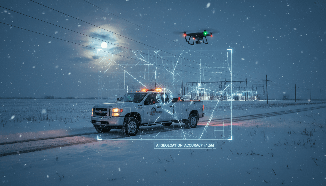
Smaller AI Geolocation for Grid Mapping When GPS Fails
A 35 MB computer vision model that can geolocate images in about 0.0013 seconds should grab the attention of anyone responsible for finding things fast—whether that’s a defense analyst triaging imagery or a utility crew trying to restore power after a storm.
Researchers at China University of Petroleum (East China) recently published a method that matches ground-level photos (street-side) to a database of aerial/remote-sensing images using a technique called deep cross-view hashing. In tests, it narrowed down candidate locations with up to 97% success under favorable conditions and pinpointed exact locations about 82% of the time. The headline isn’t just accuracy. It’s that the model is small and quick—a practical combination when bandwidth, compute, and time are limited.
This post is part of our AI in Defense & National Security series, but I’m going to be blunt: the most immediate, high-ROI applications aren’t only military. Energy and utilities have the same operational problem set—remote assets, harsh environments, intermittent connectivity, GPS-denied or GPS-degraded scenarios, and a constant need to “locate and assess” quickly.
Why faster image geolocation matters in GPS-denied operations
Answer first: When GPS is unreliable, vision-based geolocation becomes a backup navigation and verification layer that can keep missions—and restoration work—moving.
Defense teams worry about spoofing and denied environments. Utilities worry about hurricanes, wildfires, and ice storms taking down comms, scrambling field operations, and making maps stale in hours. The common thread is this: location certainty is operational tempo. If you can’t reliably answer “where is this photo from?” you can’t route teams, validate reports, or prioritize response.
A model that can match a ground photo to overhead imagery quickly enables:
- Faster situational awareness: classify and route imagery to the right region before human review.
- Redundancy when GNSS fails: cross-check GPS readings or operate when metadata is missing.
- Better chain-of-custody for intelligence and reporting: confirm whether an image’s claimed location is plausible.
From a national security lens, think “photo without metadata.” From a utility lens, think “crew photo from a phone that lost GPS lock” or “drone image uploaded later with missing coordinates.” Same problem, different uniforms.
What “deep cross-view hashing” actually does (and why it’s efficient)
Answer first: Deep cross-view hashing turns images into compact numeric “fingerprints,” making search across massive aerial image databases fast and memory-light.
Traditional image matching often behaves like an expensive comparison problem: if you naively compare a street image against every overhead image pixel-by-pixel, you’re sunk on time and compute. Hashing changes the game by mapping each image into a short code (a numeric string) designed so that similar scenes produce similar codes.
The core idea: one shared “language” for two perspectives
The model is trained to ignore viewpoint differences (street vs. bird’s-eye) and focus on stable cues—road geometry, building footprints, intersections, roundabouts, vegetation patterns, and other “key landmarks.” Peng Ren, one of the researchers, describes it as converting both views into a shared representation.
Under the hood, their system uses a vision transformer (a transformer architecture applied to images) to learn patterns across small image patches. Instead of treating an image as a monolithic grid, it learns relationships among parts—useful when the same place looks different from the ground than from above.
Why the small model size is a big deal
The reported memory footprint is around 35 MB, compared with a next-smallest competitor at 104 MB in their comparisons. In practical terms, that means:
- It’s more plausible to run on edge devices (rugged tablets, vehicle computers, some drones).
- It’s easier to distribute across a fleet (faster updates, lower bandwidth cost).
- It leaves room for other critical onboard models (object detection, segmentation, OCR).
Speed matters too. The research claims about 0.0013 seconds per match versus roughly 0.005 seconds for a runner-up approach on their setup. In isolation, milliseconds don’t sound dramatic. At scale—thousands or millions of images—they’re the difference between “interactive” and “overnight batch.”
Snippet-worthy take: Accuracy gets headlines, but in real operations, latency and memory footprint decide whether a model gets deployed at all.
Defense and national security use cases: metadata-free imagery at scale
Answer first: Fast image geolocation helps analysts place photos quickly, prioritize leads, and detect deception when GPS tags are missing or manipulated.
The RSS article mentions historic efforts like “Finder,” where analysts attempted to infer location from imagery without metadata by comparing against reference overhead data. The newer approach is essentially a more efficient, modern version of that workflow.
Here are high-value defense applications that benefit specifically from small + fast geolocation:
1) Rapid triage of incoming imagery
When a system receives a stream of images from social media, reconnaissance, or partner reporting, you want the pipeline to answer:
- Does this image plausibly come from the claimed region?
- Which five candidate locations are closest matches?
- How confident is the estimate, and what are the failure modes?
A hashing-based approach supports “top-k candidate retrieval,” which is closer to how analysts actually work—narrow to a few plausible sites, then validate.
2) Deception and mismatch detection
If an image claims to be from Site A but the model consistently retrieves aerial matches around Site B, that discrepancy is operationally useful. It doesn’t prove deception by itself, but it flags content for deeper review.
3) GPS-denied navigation support for autonomous systems
Autonomous vehicles and drones can use vision as a backup localization signal. Even if this particular model is trained for retrieval rather than continuous localization, the pattern is clear: vision-based geolocation is a practical redundancy layer when GNSS is jammed or spoofed.
Energy and utilities: from photo to pole (and back to the map)
Answer first: Utilities can adapt image geolocation to speed up asset mapping, restoration, and inspections—especially when connectivity is poor or GIS records are stale.
If you work in utilities, you already know the messy reality: field photos arrive without perfect metadata, asset IDs don’t always match the GIS, and “where is this?” becomes a daily friction point.
Here’s where cross-view image geolocation fits naturally.
Predictive maintenance starts with correct location
Predictive maintenance isn’t just “detect a problem.” It’s “detect a problem and route action to the correct asset.” Faster geolocation helps:
- Associate a transformer, switch, recloser, or pole-top device with the correct GIS record.
- Reduce duplicate truck rolls caused by ambiguous location descriptions.
- Validate that an inspection image corresponds to the intended circuit segment.
A practical workflow looks like this:
- A crew takes a ground-level photo of a pole-top assembly after a fault.
- The model retrieves top candidate aerial tiles from the utility’s imagery basemap.
- The system proposes a location and cross-checks with known feeder topology.
- A dispatcher confirms and routes the right team with the right parts.
The faster this loop runs, the faster you restore service—and the less you burn on misroutes.
Grid mapping and asset inventory in remote territory
Many utilities maintain assets across rural areas where cell coverage is spotty and GPS can be inconsistent under canopy, in valleys, or near reflective infrastructure.
A small model that can run at the edge (or run quickly once back online) can support:
- “Unknown asset” reconciliation: match photos to map locations when asset tags are missing or unreadable.
- Post-storm damage documentation: geolocate images captured under stress when metadata is incomplete.
- Vegetation management verification: tie ground observations to overhead patterns.
Renewables and distributed energy resources (DER)
Wind and solar sites are often located in open areas where aerial cues are strong (roads, arrays, substation footprints). A cross-view approach can help verify:
- Whether a ground photo is from the correct inverter pad or string block area.
- Whether a drone image aligns with the site’s latest as-built imagery.
- Whether contractor photos match the claimed work location.
The bigger point: geolocation is a data quality problem as much as it’s a navigation problem. Better geolocation improves the reliability of downstream analytics.
What could break this approach (and how to plan around it)
Answer first: Seasonal changes, weather occlusion, and dataset bias can reduce robustness; the fix is better training data, explicit uncertainty handling, and operational guardrails.
The researchers and external experts note realistic complications weren’t fully explored, including seasonal variation and cloud cover. For utilities, add snowpack, leaf-on/leaf-off differences, wildfire smoke, floodwater, and construction changes.
The three most common failure modes
- Appearance drift: the same place looks different across seasons or years.
- Occlusion: trees, trucks, scaffolding, smoke, clouds, or shadows hide key landmarks.
- “Look-alike” neighborhoods: repeated suburban patterns and gridlike streets reduce distinctiveness.
Operational guardrails that make it usable
If you’re considering a geolocation capability for defense or critical infrastructure, don’t treat it as a magic coordinate generator. Treat it as a candidate generator with uncertainty.
Practical guardrails:
- Always return top-k candidates (not just one), with a confidence score.
- Fuse with other signals: inertial data, compass heading, cell/Wi-Fi hints, feeder topology, known patrol routes.
- Use human-in-the-loop validation for high-consequence decisions.
- Continuously retrain with local imagery: new construction, seasonal updates, disaster aftermath.
Snippet-worthy take: The best deployment pattern is “AI narrows; humans confirm,” especially when consequences are high.
A pragmatic adoption checklist for critical infrastructure teams
Answer first: Start with bounded pilots—one region, one imagery source, clear success metrics—and expand only after you’ve tested robustness.
If you’re a utility, a defense contractor, or a public-sector agency evaluating image geolocation, here’s what works in practice.
- Define the database first. What aerial basemap are you matching against (resolution, update cadence, licensing, coverage)?
- Choose the operating conditions. Day/night, weather, rural/urban, seasonal variance—be honest about your worst days.
- Pick measurable KPIs. Examples: percent of photos matched within 50 meters; average time-to-triage; reduction in misrouted work orders.
- Plan for edge constraints. Decide what runs on-device vs. in the cloud, and what happens offline.
- Design for auditability. Store the top candidates, confidence, and supporting evidence so investigators (or regulators) can review decisions.
This is where the “small and fast” part matters. It lowers the friction of pilots and makes field deployment realistic.
Where this is heading in 2026: speed, edge deployment, and verification
Faster image geolocation is becoming less about novelty and more about operational integration. Defense organizations want to process more imagery with fewer analysts. Utilities want to restore power faster and keep GIS accurate without manual clean-up.
For this AI in Defense & National Security series, this topic sits at an interesting intersection: the same tool that can geolocate a metadata-free photo for intelligence work can also help keep critical infrastructure running when conditions are chaotic. That overlap is only going to grow.
If you’re exploring AI geolocation for navigation systems, grid mapping, or emergency response, the next step is straightforward: run a pilot on your own imagery, quantify failure modes (seasonal, occlusion, look-alike scenes), and decide where human verification is mandatory.
The forward-looking question worth asking now: When GPS is wrong—or missing—what’s your second source of truth for location?